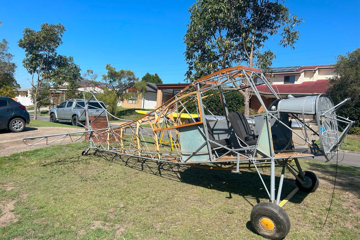
As Pilot in Command, in-flight catering officer, refueller, ground-ops manager, scheduler, accounts and complaints department of my own aircraft, I suffer from information-overload and multitasking confusion simultaneously when flying. Chatting to other pilots, it’s not uncommon. This is compounded when operating in new airspaces and using unfamiliar airfields. If you visit enough airfields, you realise that understanding local operating conditions and complying with them can be daunting, but very, very important.
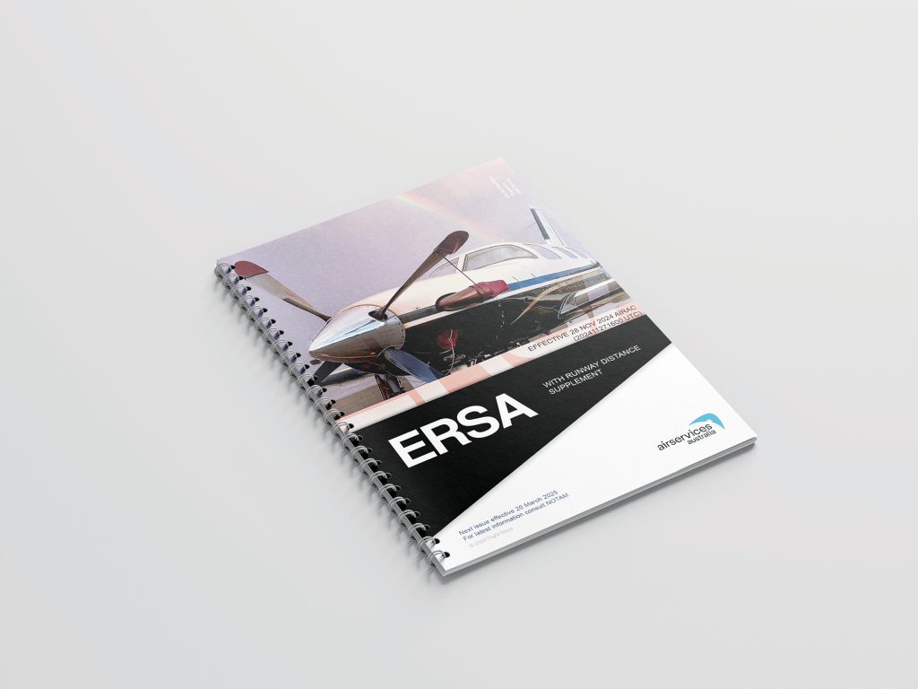
The ERSA (En Route Supplement Australia) is the bible for being prepared. It has (almost) everything you need. Back in the days when I learnt to fly and dinosaurs ruled the earth, we carried a printed version of the ERSA – along with maps, an E6B (ask an old pilot), rulers, pencils et cetera. Now it’s all on my tablet as part of the Electronic Flight Bag. You can download it, along with a bunch of useful documents, from Airservices as a PDF. I’m sure most of you are familiar with the ERSA, but it’s basically a form guide for airports and flight ops. It is updated regularly, so you have to buy fresh copies. The digital version updates automatically – nifty. But there was also a comfort in having the words printed on a page that you could spread on your lap as you approached an airport – or you can hastily open when your copilot says, “I thought it was a right-hand circuit there now”. Sure, you can have the ERSA up on your tablet or phone but a) you probably need the nav page up on that screen and b) it’s not like they’ve optimised it for the digital age so it can be hard to read on a jiggling screen. The ERSA has some other limitations. It’s still written in TLAs (Three Letter Acronyms) and jargon. Much like weather briefings, it’s written like it was made to be telexed (again, ask an old person).
I’ve made some fabulous aviation mistakes over the years. Fortunately, none were serious or dangerous. They say you learn from failures, not successes, and I can attest there is no greater teacher than the cringing embarrassment after you just messed up around an airport. To reduce these, I’ve come up with a way to make sure I have the pertinent information on hand when I need it. So here, in 200 words or less, is my distilled approach.
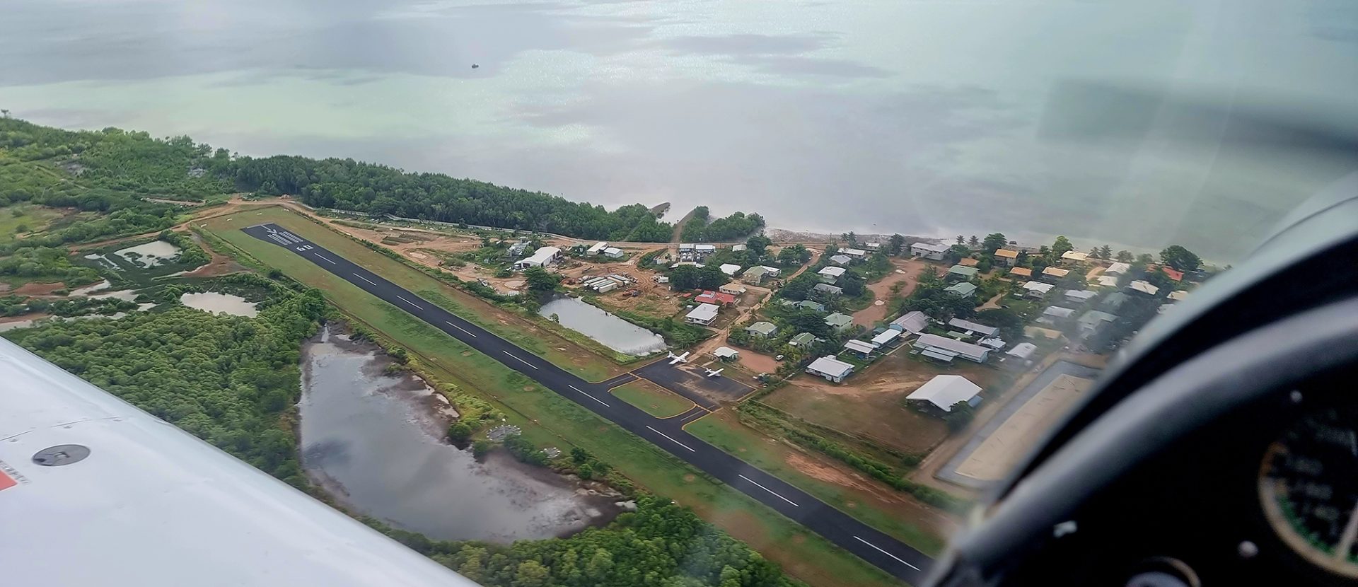
A bit of preparation makes life easier. I make a cheat sheet. Most of this information comes from the ERSA. Some comes from The Pilots Touring Guide, Plan Land and Stay or Outback Touring – all available online. Information can date so, when unsure, a call to the ARO, the local flying club or even the local flight school can clear things up. I’d rather do that than get it badly wrong. Be warned that the format, quality and accuracy of ERSA information can be wrong. That’s because AROs supply the info and aren’t consistent. So, the really important information about, say, a particular runway being unusable for take-off, may appear in the remarks columns way after you would expect it to. I’m looking at you, Horn Island. On other entries, that sort of information could appear under the Remarks, Additional Information or Local Traffic Regs section. My cheat sheet has only the necessary info for each airport I will be using on a particular day’s journey. You could use an off-the-shelf flight planning sheet, but I find my simple version works for me. Here’s a sample from a flight from Lethbridge, Victoria, to Gladstone, Queensland.
YLED Lethbridge 127.65 790ft 28/10 16/34
Avoid houses/town fill tank
YCBA Cobar 126.7 724ft 23/05 17/35 Displaced
Threshold fill tank Park Clubhouse
YGLA Gladstone 59ft 118.8 28/10 RH Circuit on
28 Chimneys Due East! A4 to A3 ASIC
The format is loosely sequenced for when I will need the info. First is the airfield, then the frequency, so I can set up the radio. And hey, make sure you switch frequency across before you broadcast. Another life lesson. I’m not saying this happened to me, but make sure you turn the volume back up if you happened to turn it down because of annoying crop dusters near Thargomindah blaring away on 126.7, or you’ll miss important calls from a Velocity flight (Virgin) and have to apologise to them later in the terminal at Charleville. Just saying. Hypothetically… anyhoo – then we have the altitude, so I can figure out over the top and circuit height, then the runways with preferred runway first in bold or underlined, then any important circuit info, then any relevant taxi/ground info. Then, if required, any additional information in bold. My entry for Redcliffe has PELICANS! at the end. If you go there, you will find out why. It probably should also say “MOSQUITO REPELLANT” because, man, they are fierce in the GA parking area.
My cheat sheet sits on or with my printed flight plan. Yes, I have one of those too on most journeys with multiple stops, because it has a quick reckoner with all the headings and fuel info, plus spaces to drop things like pressure height, et cetera. One day I might combine all these things, but probably not. If a system works, it’s not stupid. All of this information is available on the EFB, but it’s easier for me to work with on hand and it will work if everything else stops. I also tend to jot down extra bits on it as I go along, so it’s both an aide-mémoire and a jotter.
This works for me, and we would love to hear what you do. Send your thoughts to editor@sportpilot.net.au